Half Dome day trip! 17 miles return, 4800 feet elevation gain, all the way up, then all the way back down. There is virtually no downhill on the way up. It just keeps going. We got to the carpark a little later than we'd planned, around 8am, rather than the 7am I'd hoped for. By some weird fluke we were just leaving the car, when who should pull in beside us but Jenna and Adam. They couldn't be convinced to come up Half Dome with us, but they were heading up the same track, (They were going up to Vernal Falls, they may have made it up to Nevada, I can't recall) so we headed off together. We took the John Muir trail on the way up, which was gentler, a little longer, and gave us a better view of the valley we were going up. You spend the entire morning just going around the back of Half Dome, via Vernal Falls, Nevada Falls, little Yosemite Valley and so on. Quite a wondeful view though, you get very close to Liberty Cap, (Surprisingly few climbs on this, at least according to my "Yosemite Big Walls" book. (Talk about coffee table book, I bought the wall book before I'd even climbed in the valley, I still haven't even climbed there!)
A few stops on the way, passing a few people, but not as many as I'd expected to be seeing. We didn't really see many people at all till we got up to the big shoulder before the chains. There was a toilet at the top of Nevada Falls, and this was also a lovely place to dip your feet a bit. From here the track was quite sandy (granite deco) as we went through Little Yosemite Valley, which was also the flattest part of the trip. After Little Yosemite Valley, it was back uphill and into the forrest. A large burnt patch in one section, and again, more rotation of the Half Dome view. We were slogging it out uphill, heading in a direct line along the ridge top towards the chains, when of all things, a horse packing group passed us. Lazy fucks. They just trample their way up the hillside, leave the valley after a late breakfast, leave the horses at the base of the chains, go up to the top for a sticky, then just back on the horses and down for a quick dip around afternoon tea time. Nonetheless, shortly after this abomination, we reached what I will call "the saddle" a big semi clear area, with a lot of groups sitting around resting and lunching. We had lunch, except mike, who spent most of our lunch break running away from these big yellow bees. They only seemed interested in him, much to his disgust.
We thought after lunch it would be basically up the chains, enjoy the summit and then commence the journey back down, but this was not to be. The shoulder ended abruptly in a heap of steps (stacked rocks) heading sharply up the ridge, zigzagging back and forth. This was exposed, quite warm, and seemingly endless, but eventually we reached the base of the cables.
Quite an impressive sight, the cables rise up the side of the dome, covered in a swarm of antlike people. A massive pile of gloves in varying states of repair lie beside the start. A motley collection of people, fragments of parties and the like sit dejectedly in the sun. They are too afraid to ascend the cables, and their party has continued on without them. There is no shade here, so they'll probably just have problems getting back anyway. Much smarter for them to head back down towards the shoulder, but that's not our problem. Nick and I were some way in front of Mike and Anastasia at this stage and didn't feel like sitting around in the sun all day waiting for them. We grabbed some gloves, (some of them are virtually new) and headed on up.
The Cables are an interesting construction. They consist of two cable handrails, made of 3/4"-1" thick steel cable, held up by posts sticking out perpendicular to the dome surface, with decaying wooden slats between the posts. Each post pair is about 6-10 feet apart, so they're not exactly steps. The entire slope underneath the cables is, of course, glassy smooth. It's also crowded with people. The easiest way up is to run up it, stopping as need be on a slat. Of course, people often get in the way of this. Passing is only safe on slats, which are only jsut wide enough for two people. So you run, and look run and fit, and people get out of your way. Met an old man lieing down against the rock (the slope is 30?40? (steep) degrees here, so he's half upright. He's having a break on the way up he says.) Whatever. We continue on and on and on. It is quite an ascent, though it's apparently only 200m or so distance wise. Up on top, we are rewarded with a fantastic view back down the valley. And also some fantastic photo-ops standing on a ledge or rock out over the air. :) Mike and Anastasia turn up and we get someone to take some group pics, then it's time to head down again. What fun. This is where the gloves come in handy (I'd taken mine off coming up) The fastest way down, and the way that avoids all the people going up/down is to hand over hand on the outside of the cables, sort of slide slipping down the rock, with your hands sliding down the cables. Don't let go, it's steep, and you'll probably barrell off the wrong way down the slope too. :)
Back at the base of the chains we met the old man we'd passed going up, and his wife. Seems they were on day 3 of their 4 day attack on the summit. Two days up, summit day, and a day back down. They'd been turned back the year before with altitude problems, (The summit is just under 9000, most people start noticing the effects of altitude around 10000) (noticing the effects meaning mild altitude sickness, not just noticing that the air's a little thinner) Had quite a chat to them, an impressive pair.
From here it was all just slogging down hill. We stopped for a well earned swim in the Merced River above Nevada Falls, Liberty cap above us, then headed on down. We were still seeing people coming up at this stage, (though only one or two by the time we reached the river again) and they were looking less and less likely to succeed. We met one couple carrying a 1L gatorade bottle each, empty, wearing shorts only, with sandals. From Nevada Falls we went down the Mist trail, which gave us a better view of the falls, and took us down the opposide side of the valley from where we'd gone up. Quite a nice waterfall from up close, with a lot of water on it. This track also took us down past the top of Vernal Falls, which was swarming with people. People everywhere was the name of the game all the way back to the carpark. About 15 minutes from the carpark is a toilet block and a water fountain, beside a bridge over the Merced, which was the staging point for people returning in dribs and drabs. People everywhere, splashing water on their faces, waiting for group members, resting on the ground, you name it. Waited here for a while, then it was onwards to the car, and the long burn home. An excellent trip, and a very worthy day walk.

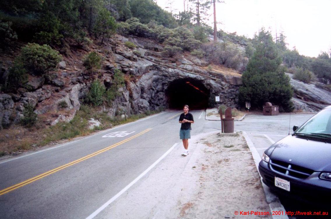
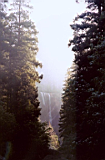
yosemite-19.JPG
Mike and the Tunnel, End of Day 1 |
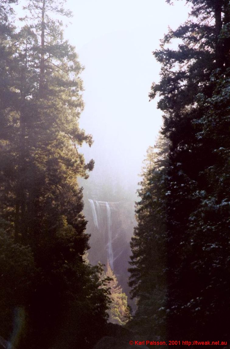
yosemite-20.JPG
Looking upstream from the bridge |
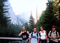
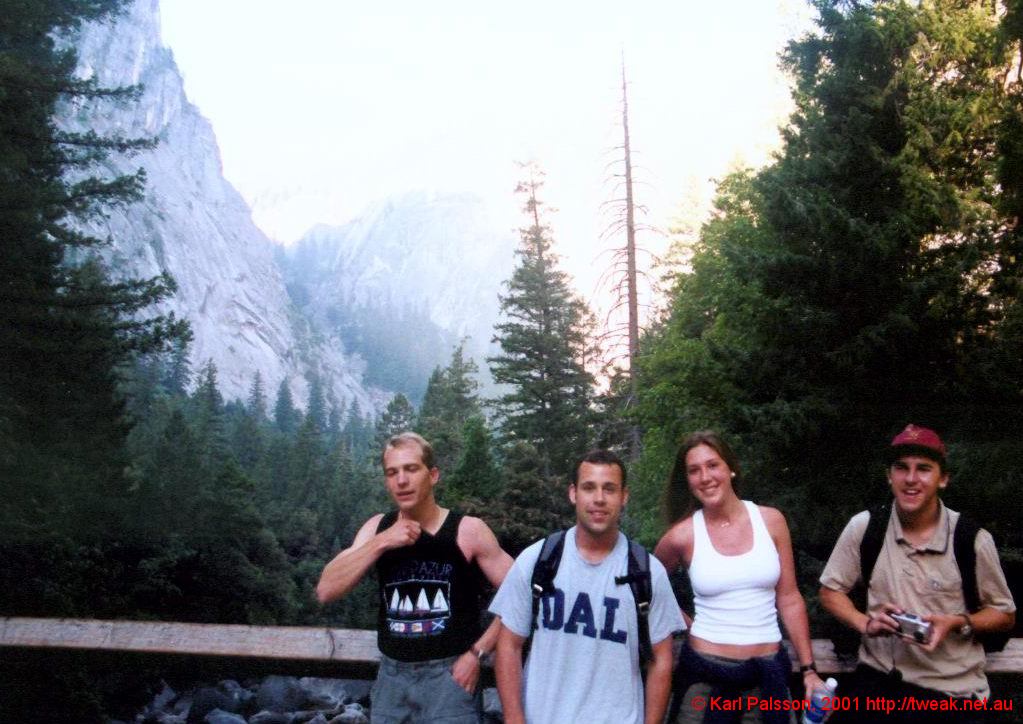
yosemite-21.JPG
Downstream, featuring Nick, Adam, Jenna and Mike |
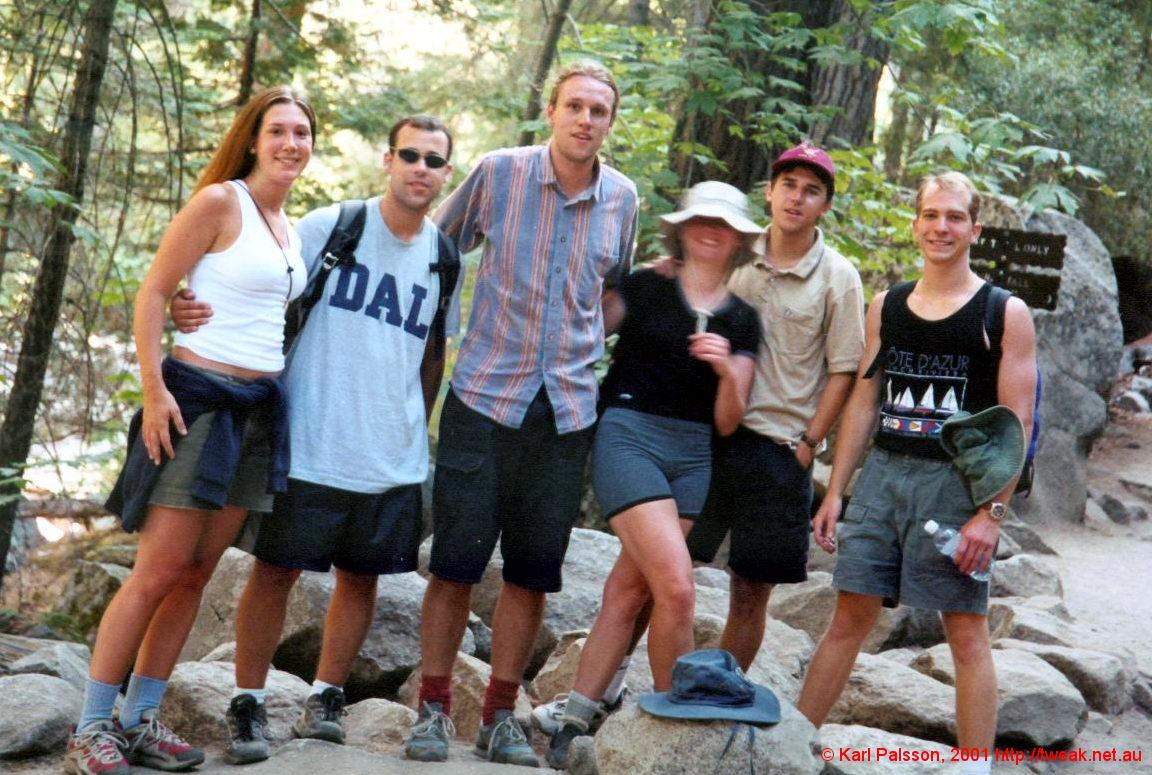
yosemite-22.JPG
Jenna, Adam, Me, Anastasia (keep still!) and Mike (We split up here) |
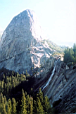
yosemite-23.JPG
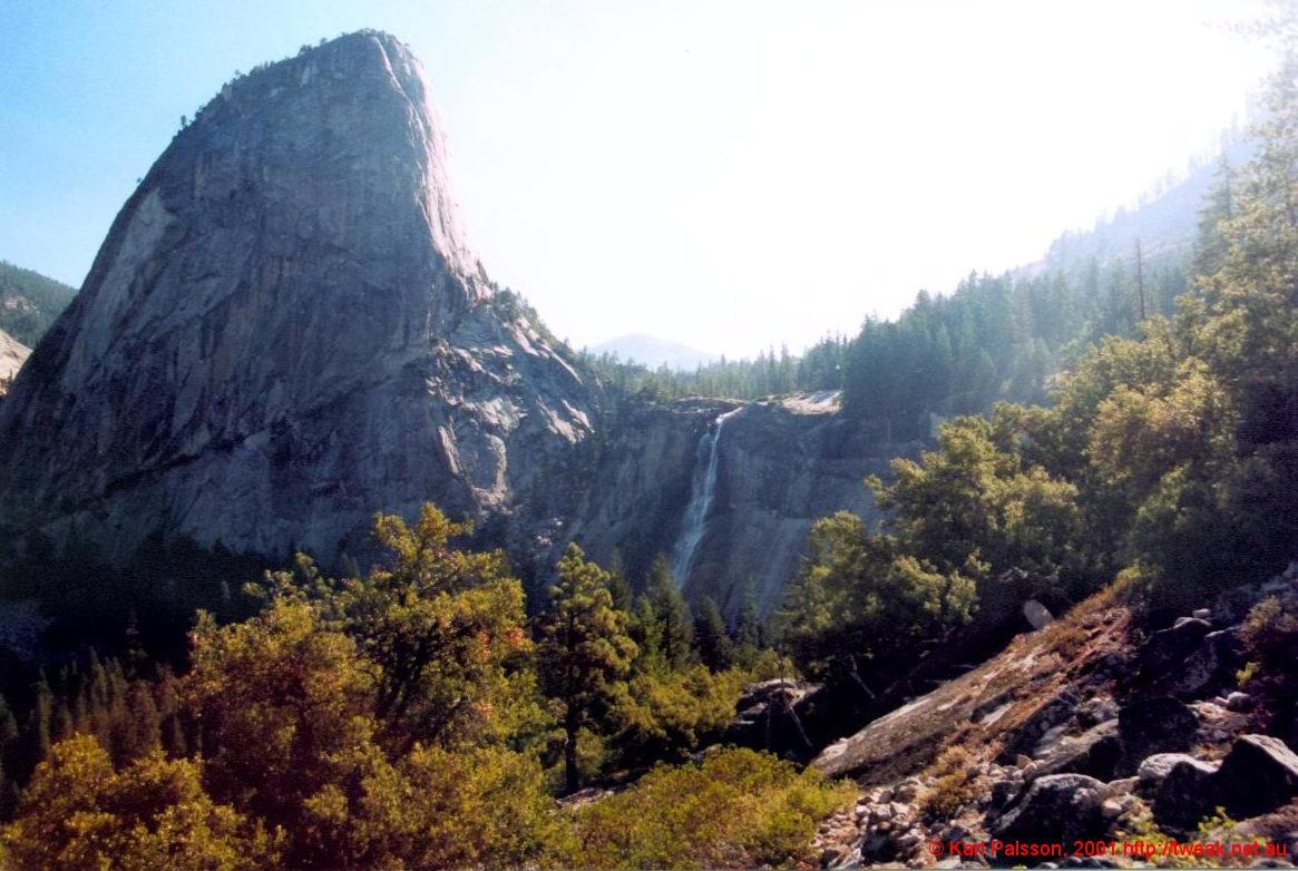
Out of the forrest, and onto a rock slab briefly, we get a view of the approaching Nevada falls, with Liberty Cap on the Left |
yosemite-24.JPG
Skirting around to the top of Nevada Falls, under horrible lighting conditions. The Mist Trail ascends the tallus field to the left of the falls. |
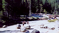
yosemite-25.JPG
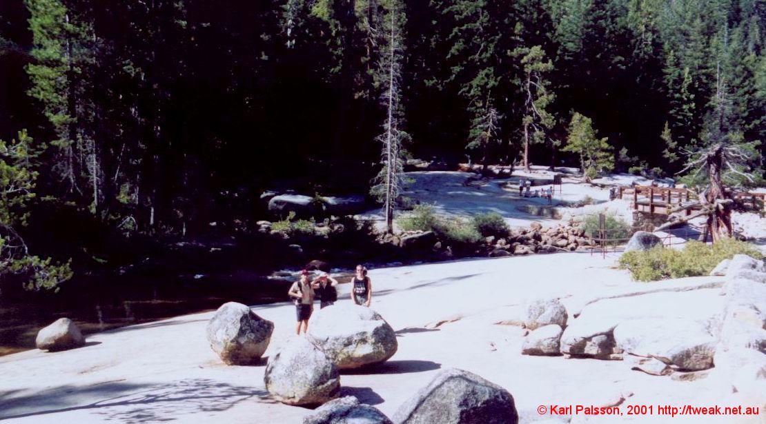
Pleasant rest area at the top of Nevada Falls |

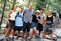
yosemite-26.JPG
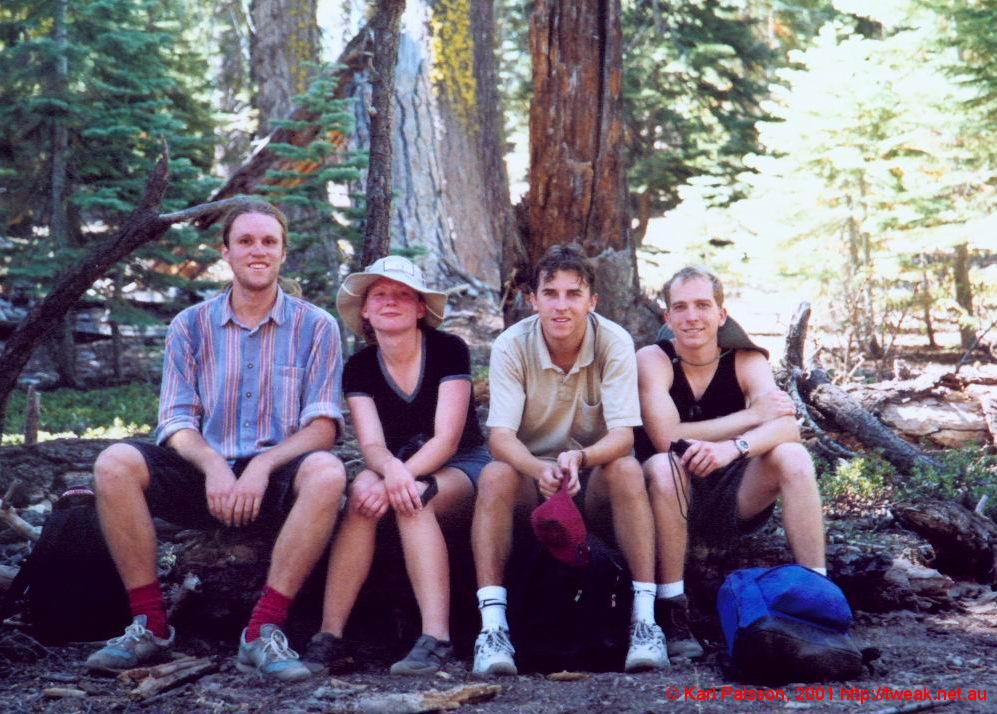
Me, Anastasia, Mike and Nick, shortly before the shoulder |
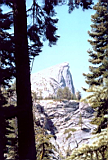
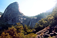
yosemite-27.JPG
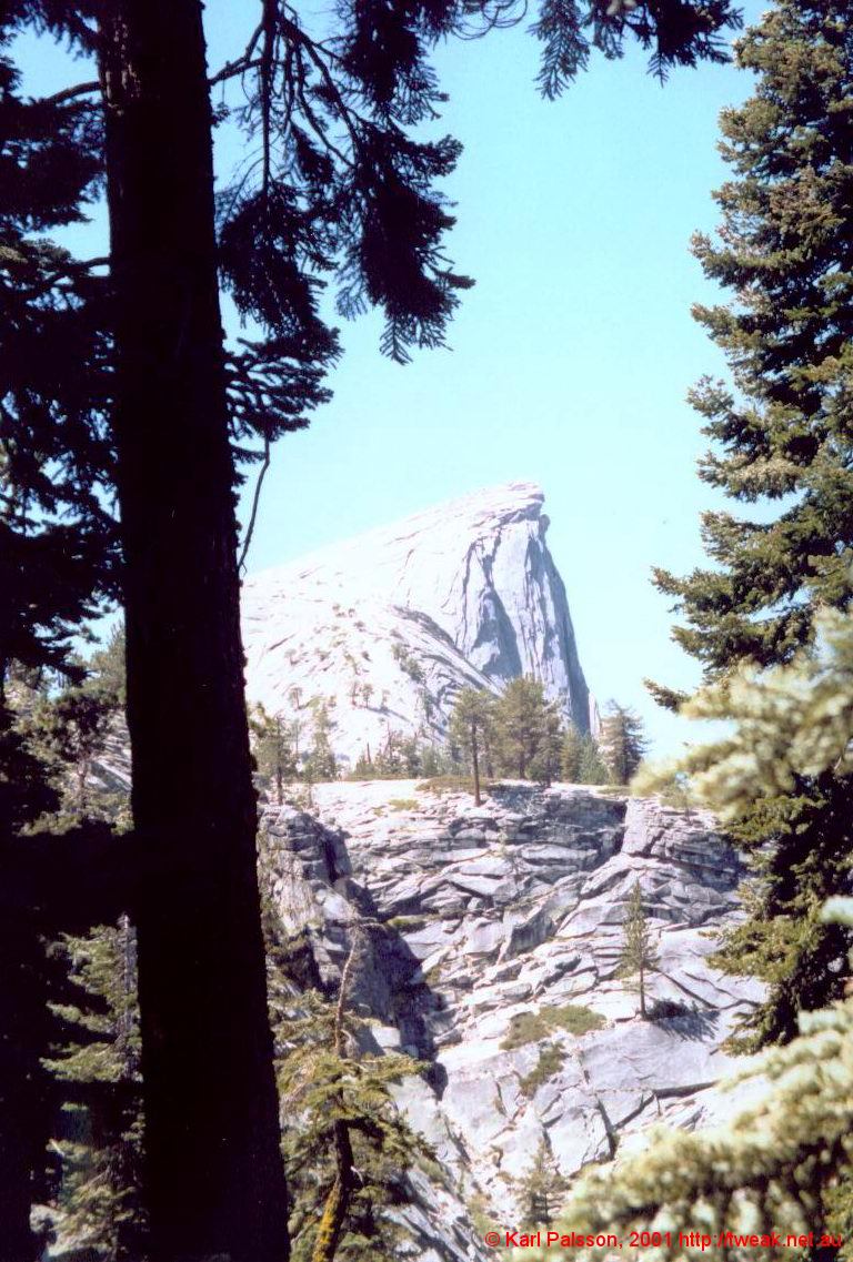
The shoulder is over that rise, and there's more past there than would seem |
|